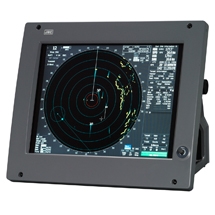
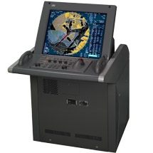
The Electronic Chart Display and Information System (ECDIS) is a geographic information system for voyage planning and route monitoring to support the safety navigation of ships at sea. And in response to the latest revision of the International Convention for the Safety of Life at Sea (SOLAS), the International Maritime Organization (IMO) enforced the mandatory installation of the ECDIS by July 2018 according to vessel’s category. (Requirements for the equipment and operation qualification are subject to approval from the country with which the ship is registered and recommendations from the classification society of the ship.)
The JAN-7201S/9201S incorporates a new user interface (named jGUI) for an intuitive, easy-to-use, simple menu system based on the display of icons. This interface always displays critical data in fixed positions on the screen while icon-based menu display informs users of corresponding functions straightaway. Furthermore, target tracking (TT) and AIS symbols feature pop-up displays while mouseover on the target showing their main data at a glance.